
A Birds-Eye View of Drone Mapping
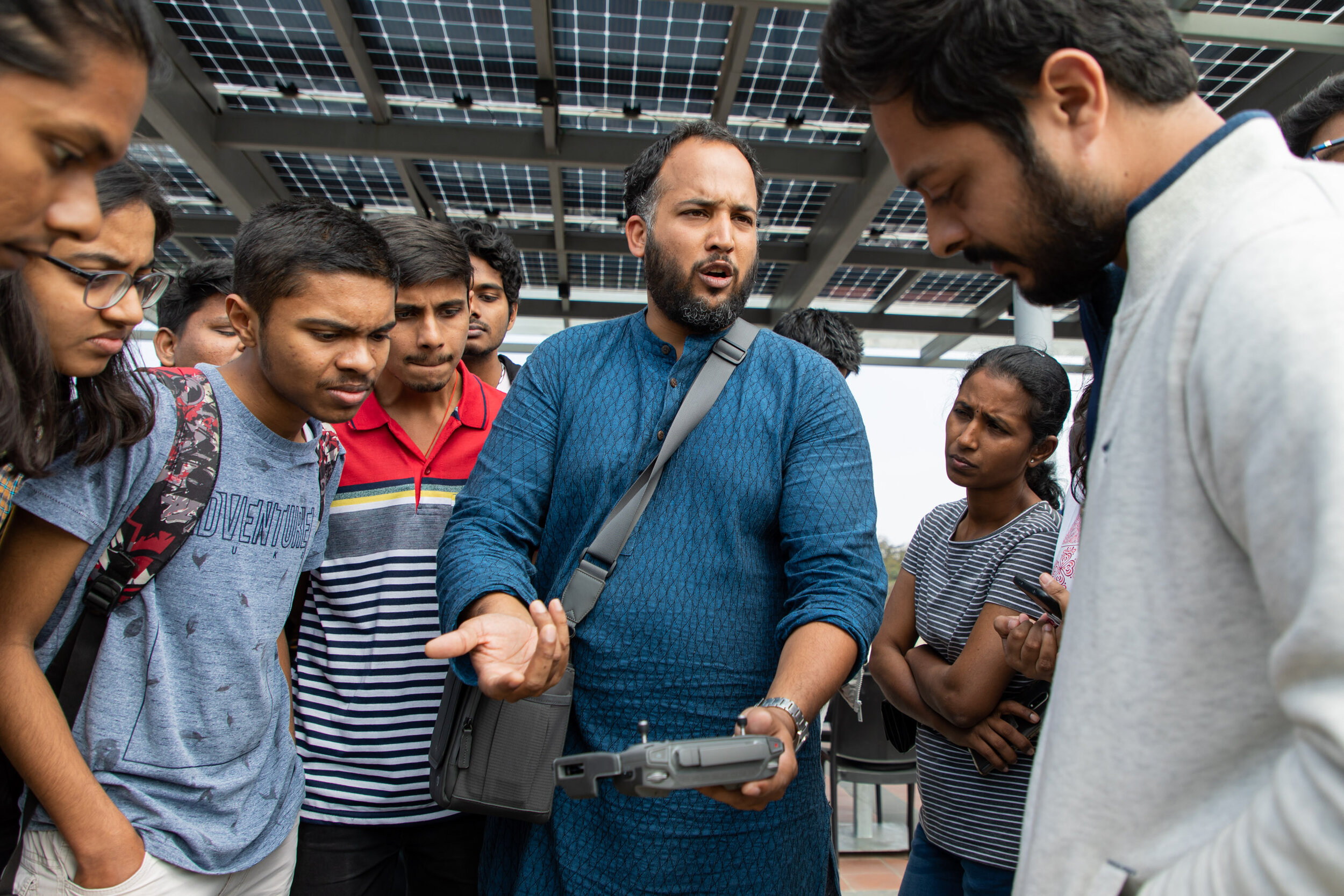
On 12th January, a workshop on studying water bodies through drone mapping was conducted by Shashank Srinivasan. Shashank is the founder of ‘Technology for Wildlife’, a geospatial data consultancy that aims to amplify the impact of conservation with the use of modern technology.
The workshop was organized by Science Gallery Bengaluru as a part of their exhibition season on water called SUBMERGE. People from diverse fields interested in conservation participated in the workshop.
Shashank began the session by revisiting a study he had conducted last year on Tso Kar basin (Ladakh). He showed how technology played a key role in the conservation efforts of this area. Their team used drone mapping to collect geospatial data and leveraged submarine robots for underwater studies. They then compared their findings to earlier data to understand the changes which had taken place.
The crux of the workshop involved exploring data collection from satellite images and aerial imagery (Drone), analysis of this data using Geographical Information System (GIS) tools, and finally visual representation and comparisons.
Participants also got a chance to examine a case study of drone mapping on a section of the river Vrishabhavathi near Peenya. The stitched images from the site revealed plastic being dumped along the riverbank. Shashank informed he could use these images to alert local authorities to take actions.
At the end of the workshop, we attempted to fly a drone but could not because it was a no-fly zone. This then proceeded to a discussion on safety, regulation and ethics of using drone.
One of the participants who works in data analysis stated “I wish to one day monitor and conserve the water bodies in my locality. I am glad I attended the workshop because it will help me start my mission immediately”
By Manish Jayashekar, Mediator